
True Tales: Walling’s Map of Canton
By George T. ComeauIn the corner of my kitchen is a tube of reproduced historic maps of Canton. I use these maps regularly to help me write these stories. The best is dated 1855, a copy of an original that hangs framed in a back corner of the Historical Society. The map is actually a picture, a sketch, and a dream of what Canton looked like 157 years ago.
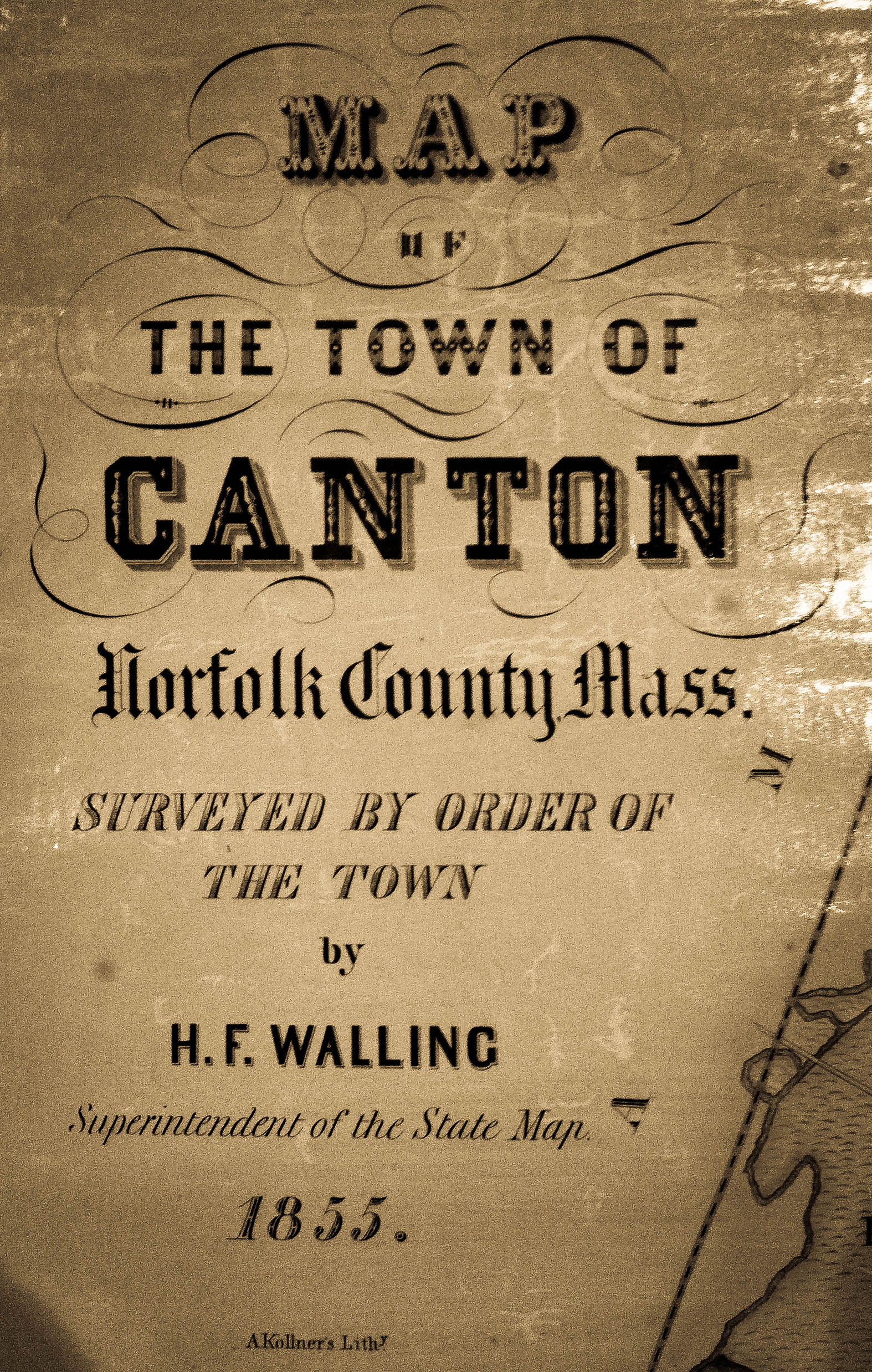
The title block of Walling’s Map of Canton, 1855 (Courtesy of the Canton Historical Society)
The renowned cartographer Henry F. Walling, who at the time was the superintendent of the state map, surveyed and drew the map. Walling knew what should be on a map, and his accuracy allows us to pinpoint historic sites today. The document is a joy to see and explore with the mind’s eye. Hand-colored and quite large, this is our first accurate look in detail of the roads, rivers, churches, doctor’s offices, stores, and homes, complete with owner’s names listed nearby. It is a vivid snapshot of life and the people of Canton that is a portable history lesson.
Walling was a perfectionist when it came to drawing maps, and his output was prolific. Working at a very fertile time for surveyors and mapmakers, Walling’s work was monumental. Over the course of his lifetime he prepared and published maps of over 20 states and provinces, 280 counties, and 100 cities and special localities. In Massachusetts he drew more than 60 detailed maps of communities throughout the region. The Canton map was drawn in 1855 and “surveyed by order of the town.” When the bill came due in 1856, the town of Canton paid Walling $420.11 for his work. What has become known as the “Walling Map” has been used by researchers and genealogists for decades.
What is most important in a map is accuracy, and Walling’s maps are indeed accurate. A leading expert, Michael Buehler, principal at Boston Rare Maps in Southampton, said that Walling’s “career trajectory indicates that he would not have felt comfortable producing ‘hack’ work.”
“Even in 1854,” noted Buehler, “when Walling was just 29, leading civil engineers felt confident enough in his skills and integrity to recommend him for the position of superintendent of the Massachusetts State Map. Later his work brought him into the embrace of the scientific community, and he became an acknowledged leader in applying advanced methods and tools to the mapping of the United States.”
An original Canton “Walling” map, of which only a couple of hundred may have been produced, could fetch as much as $6,000 in the best condition.
At first glance, the town is how we know it — the Boston and Providence Railroad heavily drawn through the Fowl Meadows, along with the big landmarks: the Blue Hill Summit, Reservoir Pond, Ponkapoag Pond, and the East Branch of the Neponset River. At the bottom corner of the map is a legend of sorts, with facts on the geography of the town: 1,210.9 acres, 196 of which were occupied by highways, and 386 acres of water. The total length of our roads combined equaled 40 miles to serve a population of 2,430 inhabitants.
The fact that there were 125 people per square mile in town in 1855, where today there are over 1,113 people in the same area, speaks volumes about the density changes and growth of the town through the last century and a half of progress. The markers for success are all there on the map: strong waterpower, distinct developed roads, access to the railroad, and plenty of natural resources.
The map tells other stories. Canton is broken up into seven school districts, each one with a small schoolhouse. District 1 is at the geographic center of the community, the area historically known as “Canton Centre,” with boundaries generally where Dedham and Pleasant streets are today and north to Engine House 2 in Ponkapoag. Here we find a neat row of houses along Washington Street, today part of the Canton Corner Historic District. The houses are lined up perfectly and dot the road with the names of the first families of Canton: Draper, Sumner, Capen and Downes.
District 2 is drawn in Ponkapoag, while District 3 lies in South Canton. The area known as South Canton would become our new center of activity, and as industry around the Kinsley Iron Works and the Revere Copper Works expanded, the economic center of the town would shift and follow these new boundaries. This area of town was so important as to warrant an inset detail along the top of the map, with precise locations that show distinct organization and construction along the railroad spurs, water rights and newly built roads.
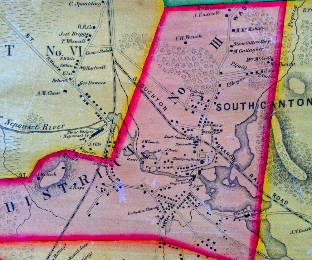
A detailed view of South Canton in 1855. The Stoughton branch of the railroad and Forge Pond are well known landmarks in this view. (Courtesy of the Canton Historical Society)
District 4 was where York Street is today, and District 5 is present-day Pleasant and Bolivar streets. The final two districts are Neponset and High streets, respectively.
The neat district lines made for the emergence of neighborhoods, where children would go to school and where shops and factories flourished and homes dotted the tree-lined streets. In fact, there is an enormous amount of open space throughout the map, most notably in the north and easterly portions of our town. The Walling Map points out vast areas of land south of Farm Street, south of Green Street, and along the borders of Milton, Randolph and Stoughton. The scale is accurate, due in large part to the fact that Walling himself likely walked and measured the streets using compass and chain, the tools of his day.
There are wonderful clues to historical sites not yet discovered within the lines of this column. Places of interest most certainly include Reed Cutlery Mill along the lower Beaver Brook, the Blacksmith Shop on High Street, the Stone Cutter’s Shop on Washington Street near the present-day Audubon sanctuary, the Cranberry Meadow, the Sash Factory, numerous grist mills, and especially the “manfy of piano forte keys.” It is certain that you will be reading in this same space all the forgotten details of the brick kilns on Bailey Street, the twine mill and the bowling alley near the stables behind the Massapoag House. If all of this sounds unfamiliar to you, take heart, it is foreign to me — for the time being. The map begins to open these hidden doors.
Maps are wonderful tools for understanding our past. The street names today have been renamed over the years. Chestnut Street has become Walpole Street; Railroad Street is now Chapman Street; York Street, Indian Lane, and Turnpike Street have yet to have names. Unsurprisingly, there are prominent locations no longer found in modern Canton. Clay Meadow, quite near the “brick kilns,” can be found near Steep Hill Brook, still to be found on a modern map of Canton. Muddy Pond is another great diversion to locate on a beautiful autumn afternoon.
Taking what we see on the map, and then looking at Huntoon’s History of Canton helps to fill in some of the details. Take Massapoag Brook as it flows into Canton. Huntoon writes that “it passes the works of GH Mansfield and JS Shepard; it is then divided, the original brook flowing by the silk factories and emptying into Forge Pond in the rear of the Crane schoolhouse having fallen 260 feet. By an artificial canal cut in 1834, a portion of the water may be carried into Steep Brook.
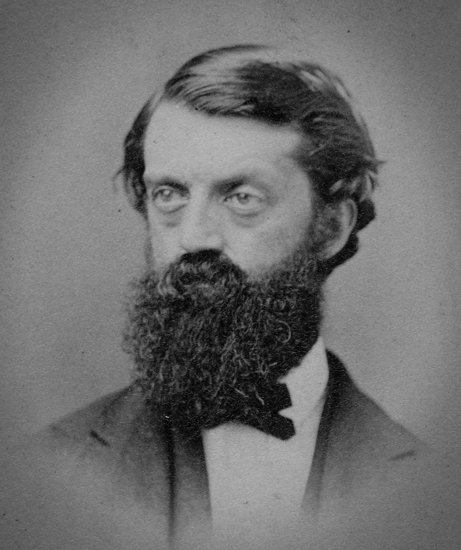
Henry F. Walling in an undated photograph (Courtesy of the Skillman Library, Lafayette College, PA)
It will be noticed that this artificial division of Massapoag Brook forms an island, which is commonly known as Frog Island. It embraces all that part of Canton lying east of the upper and lower silk factories and is bounded on the west by Steep Brook northerly by Bolivar and Forge ponds. Within the limits of Frog Island are clay meadows which have furnished good brick; a considerable business was done years ago by Luke Shepard in furnishing clay from these meadows to the Revere Copper Company.”
There are literally hundreds of maps in the Canton Historical Society, but the Walling Map is perhaps the earliest example of a fully formed view of our town as it was emerging during an industrial period. While there are earlier maps, this map is the first commercial map and our best look at Canton. This map became the basis for all the maps and views to follow. Over the years, using Walling as a base, the Norfolk County Atlas would layer the growth on subsequent maps. Birdseye views would emerge and further lay out the details. But the simplicity and accuracy of Walling’s map are unmatched.
This is a map that should be copied and reprinted so that schoolchildren can trace the streets with their fingers and come to know a Canton that once was. Stop by the Historical Society and see the map for yourself and imagine history. One final footnote: When Walling came to Canton to do his work, it would be a young 16-year-old boy whose career trajectory would change as a result of meeting Walling. More in the next story.
Short URL: https://www.thecantoncitizen.com/?p=11033