
DCR launches Fall Foliage Map
By Canton Citizen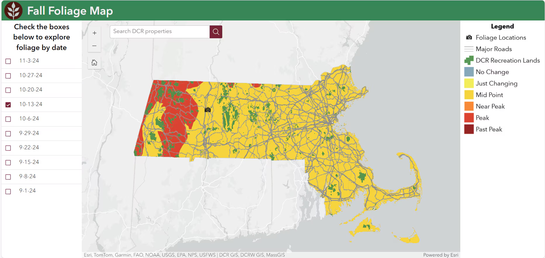
As part of its ongoing effort to promote the enjoyment of the state’s picturesque natural resources, the state Department of Conservation and Recreation (DCR) has rolled out a new interactive Fall Foliage Map. The new map is designed to allow residents and visitors to better plan their foliage viewing by providing updates on peak foliage conditions at DCR properties across Massachusetts.
“Our parks come alive in the fall, and we want everyone to have the best opportunity to experience the beauty of Massachusetts’ natural landscapes,” said DCR Commissioner Brian Arrigo. “The new interactive foliage map will make it easier than ever to enjoy the season, whether you’re planning a weekend getaway or a day trip to one of our parks.”
By selecting a date, users can see where across the state leaves will be at peak color change. Based on current conditions compared to previous years, DCR’s forestry staff predicts that most of the state will see peak colors in mid-October, with certain areas in western Mass. peaking slightly earlier. The map also features photos of DCR parks and properties taken by staff during previous fall seasons to give visitors a preview of what they may see on their foliage expedition.
DCR’s Fall Foliage Map is now available at tinyurl.com/dcr-foliage and on DCR’s Fall Foliage webpage. Over the next several weeks, DCR will share snapshots of the updated foliage map on its social media channels.
DCR’s Fall Foliage webpage also highlights 17 recommended foliage viewing spots in the state park system along with hiking trails, picnic areas, and scenic overlooks at the locations.
Short URL: https://www.thecantoncitizen.com/?p=127284